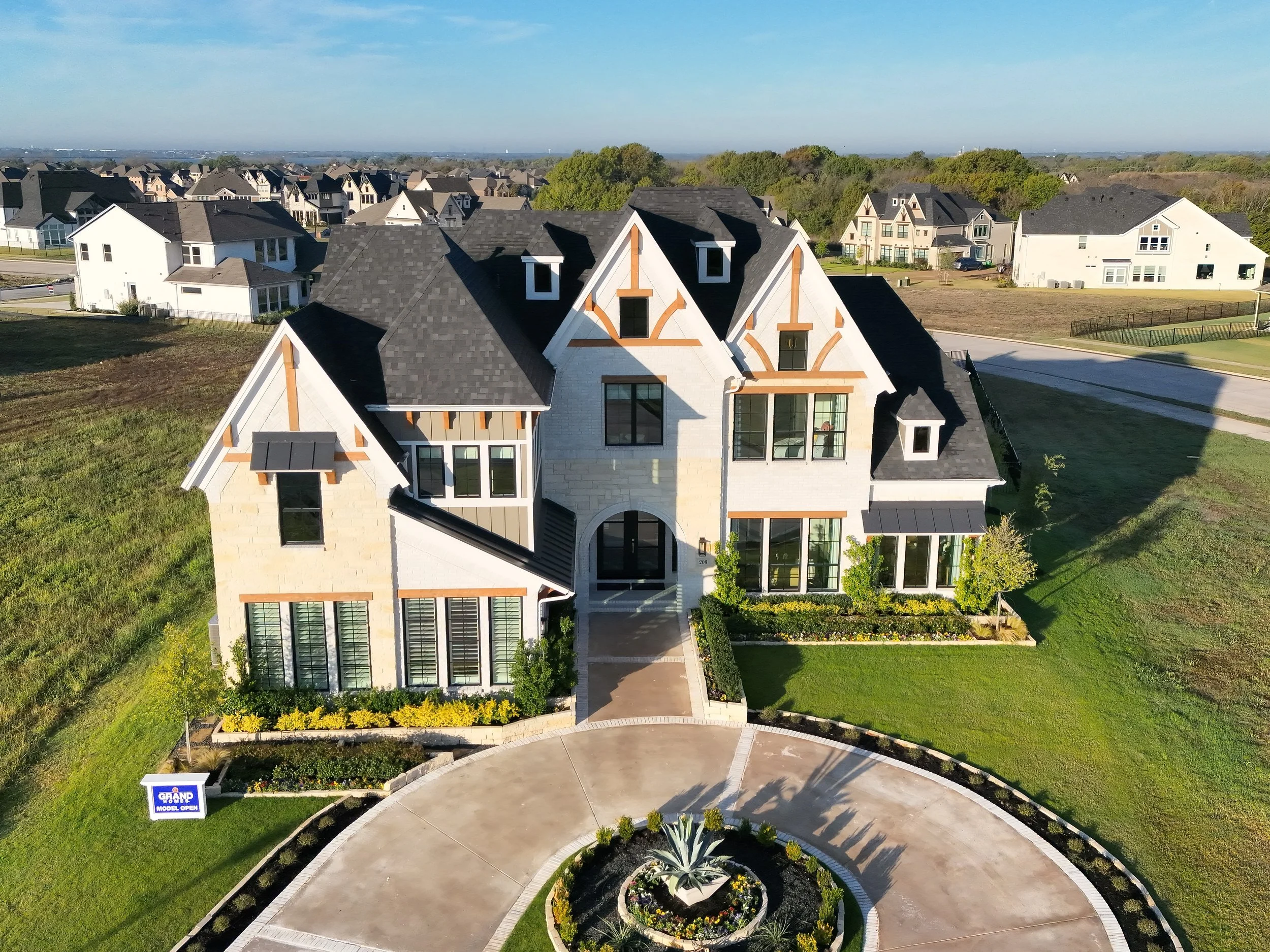
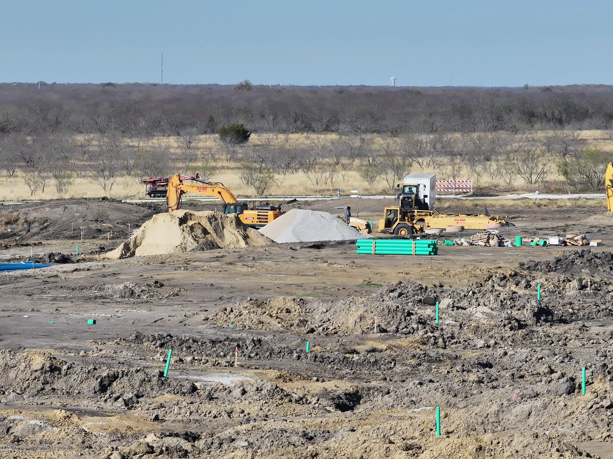
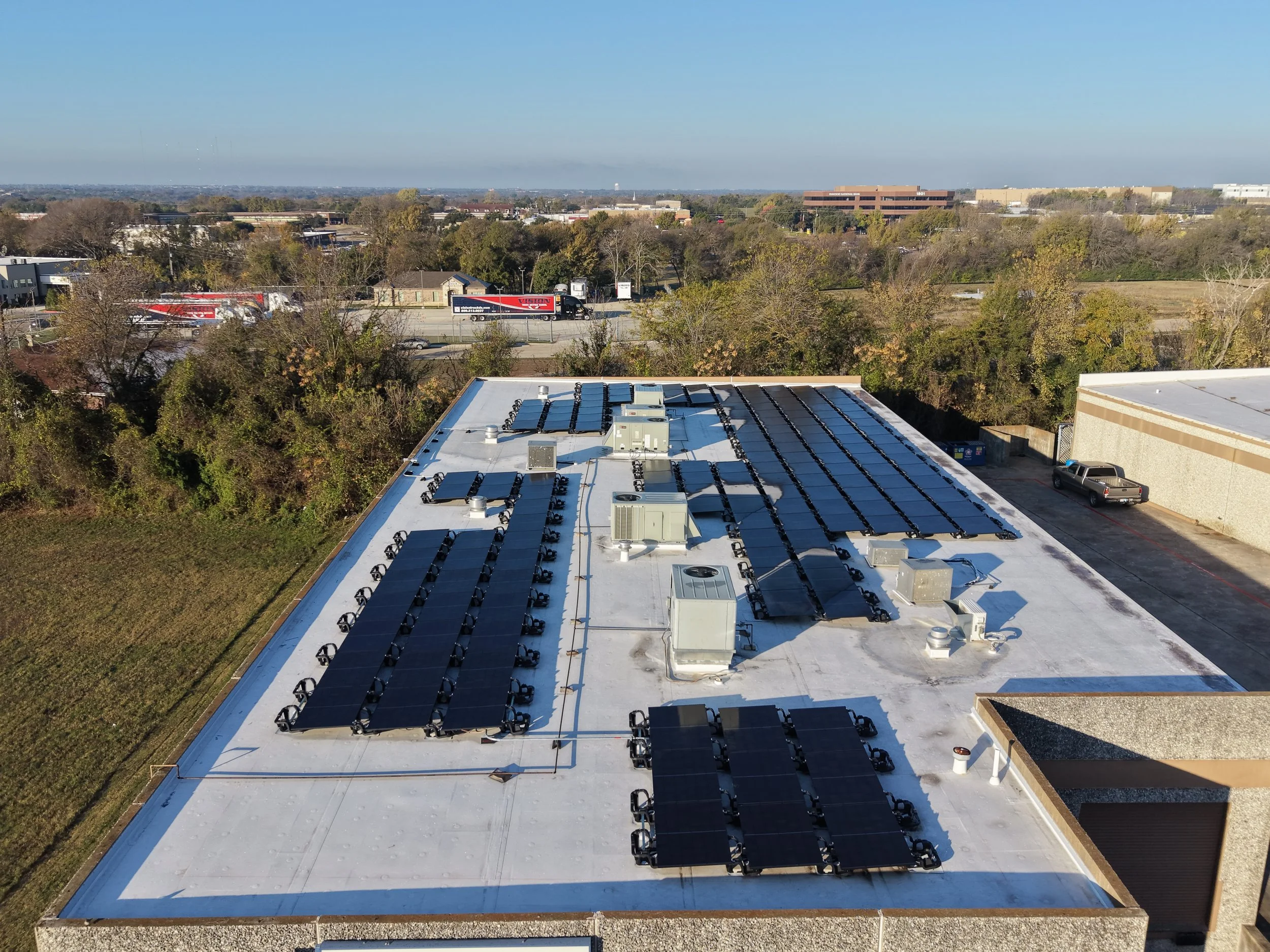
Professional drone photography, videography, inspections, and mapping solutions delivering high-resolution visuals and precise data for real estate, construction, agriculture, insurance, and more.
A comprehensive portfolio showcasing high-quality aerial imagery, inspections, and mapping services designed to support real estate, construction, solar, agriculture, and property management projects.