Who we are
Precision Aerial Ops is dedicated to elevating property intelligence and safety through cutting-edge drone technology, artificial intelligence, and expert human insight. As a veteran- and woman-owned company, our mission extends beyond innovation—we’re committed to creating meaningful career and ownership opportunities for veterans and women in a rapidly growing industry. Every flight reflects our core values of precision, integrity, and empowerment.
At Precision Aerial Operations, we combine cutting-edge drone technology, AI-driven data analysis, and field expertise to deliver clear, actionable insights for every project. Whether capturing stunning visuals or providing technical documentation, our aerial solutions help clients make faster, smarter, and safer decisions.
Our Services
Aerial Photography, Videography & Video Appraisals
Professional, high-resolution imagery and cinematic video production tailored for builders, contractors, real estate professionals, and creative agencies. We deliver edited marketing assets, cinematic tours, and raw footage for 3D modeling or post-production use.
Event Security Operations
Precision Aerial Ops provides a modern, proactive approach to event safety. With real‑time aerial intelligence, integrated lighting and audio systems, and coordinated communication with on‑site teams, we help ensure your event runs smoothly, safely, and with confidence.
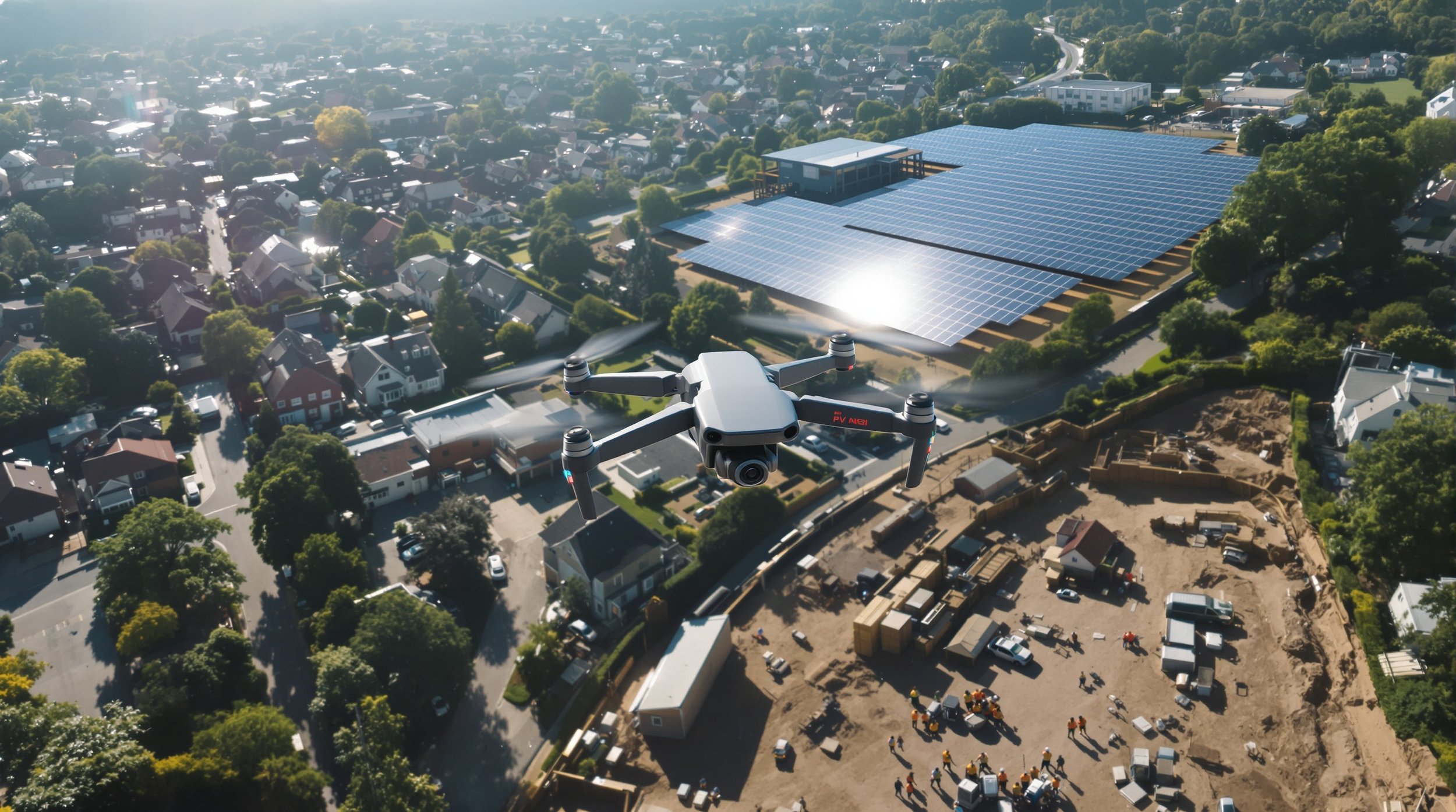
Construction Progress & Restoration Documentation
Detailed orthomosaic maps, 3D modeling, and volumetric measurements that verify site progress, material tracking, and compliance. Our drones also provide post-disaster imaging and thermal moisture detection to assist in restoration and insurance documentation.
Drone Mapping Services
Provide high-resolution, data-rich aerial maps that help clients plan, measure, and manage projects with unmatched accuracy. Using advanced drones and photogrammetry software, we capture detailed orthomosaic maps, 3D terrain models, and volumetric data to deliver precise insights that traditional surveys can’t match.
Drone Solar Panel Inspections
Thermal and visual drone inspections that detect performance issues, hotspots, and wiring faults in both rooftop and utility-scale solar installations. Our reports support warranty validation, maintenance planning, and long-term energy efficiency.
Residential Roof & Property Inspections
Safe, efficient, and precise inspections for homeowners, adjusters, and real estate professionals. We capture high-definition aerial imagery for pre-sale evaluations, insurance claims, and property maintenance — reducing risk while increasing clarity.
Agriculture Services
Precision Aerial Ops delivers advanced, data-driven agricultural drone services designed to help farmers, agronomists, ranchers, and land managers maximize yield, reduce costs, and protect their crops and livestock. Using multispectral imaging, thermal sensors, and high-resolution aerial photography, we detect crop stress, irrigation inefficiencies, soil variability, and environmental risks—long before they impact production or profitability.
At Precision Aerial Operations, our mission is simple:
Precision from Above. Insights on Ground.
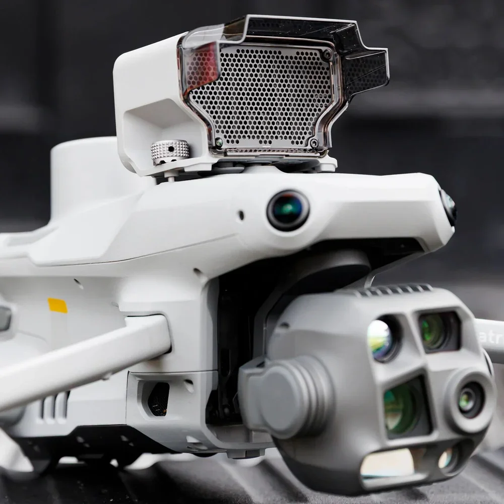
SEE OUR DRONE FLEET
Our drone fleet combines the power, precision, and versatility of the DJI Matrice 4 Series, DJI Mini 5 Pro, and DJI Avata 360 to deliver comprehensive aerial coverage for any environment. From high-altitude surveillance and advanced imaging to agile close-range navigation and immersive 360° perspectives, our platforms provide unmatched visibility, real-time intelligence, and operational flexibility—ensuring every mission is executed with clarity, efficiency, and control.
Learn More
Contact us
Interested in working together? Fill out some info and we will be in touch shortly. We can’t wait to hear from you!